My journey in Tech

I am a GIS enthusiast. Mostly what I do is make maps, create and manage GIS softwares and I Iove R and am learning to appreciate Python. So mainly am a learner in GIS and programming and I like to explore integration of various programming algorithms with GIS.
I have a background in Geography, specifically in collecting geographical information, analyzing, processing and presenting this information mainly in form of maps to help in decision making. But nowadays, I find what I mostly do involves creating and customizing applications with spatial dimension, creating code and running pipelines that produce analytical products and cartographic representations. Quite a mouthful right? But I love it!
So how did I get here? And how am I transitioning to this?
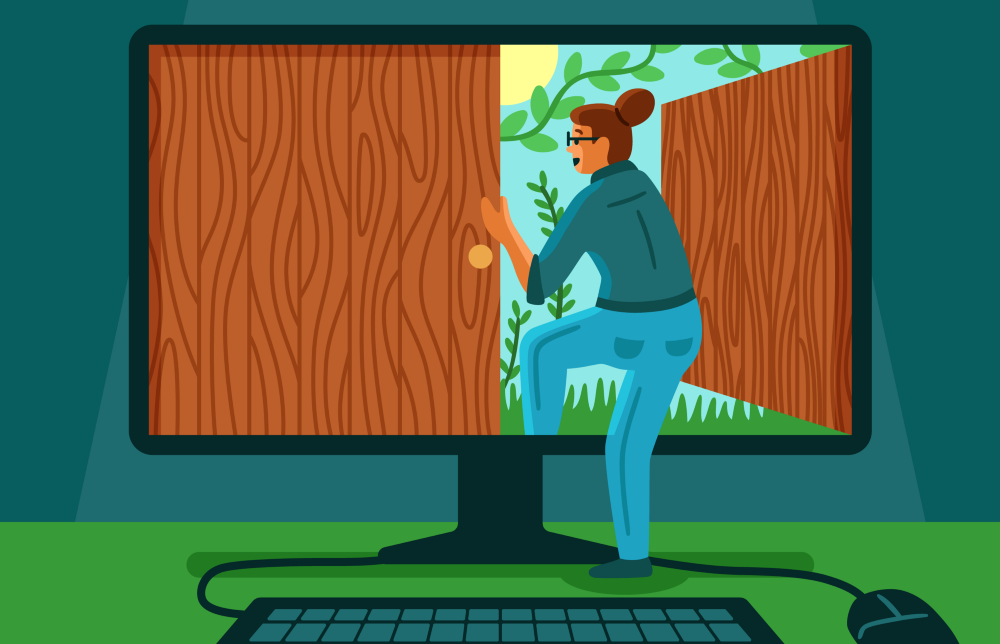 Illustration by Michele Rosenthal
Where it all started
First off, my love for geography started when I was young. I used to be amazed by the environment around me. With geography, I found a subject that helped me to understand t5he environment and with time I wanted to go deeper into this. So that is how I found myself pursuing a degree in Geomatic Engineering and Geospatial Information Systems.
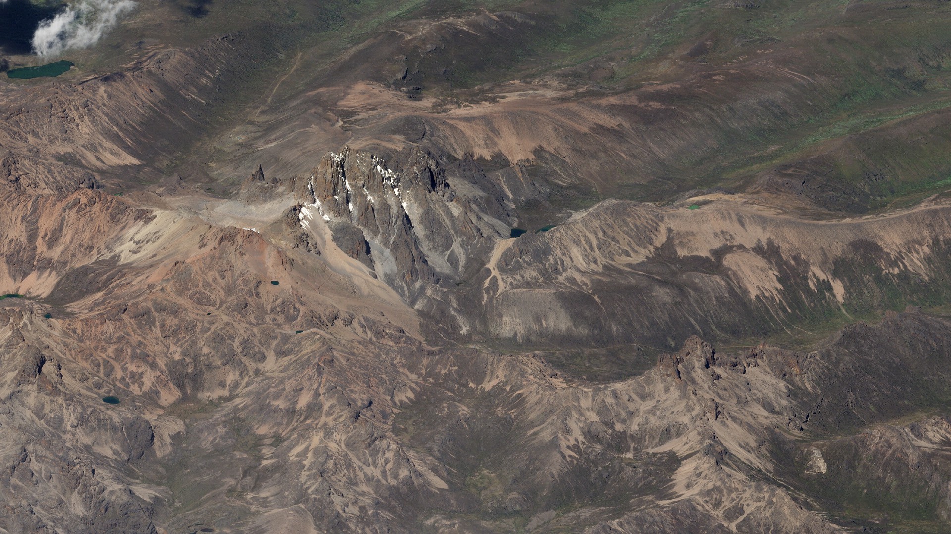
It's quite breath-taking right? This is a beautiful satellite imagery of Mt Kenya acquired on March 16, 2020 from ©Planet Labs, Inc. CC BY 4.0.
However, in my studies I realized that my field of study is like an application of computer science to solve problems with awareness of location.
For instance, the Mt Kenya Satellite Imagery above, how it was collected, processed and how it will be analysed to provide an understanding or to solve a problem all these will involve some software, algorithms and tools and in the end there is even a beautiful platform where people can interact with it.
You can visit this Planet's Website to see more imagery that they have and how they are using these images to understand what is around us!
So I have been making the journey to understand the concepts of Information Technology and how it relates with geospatial science.
The journey so far
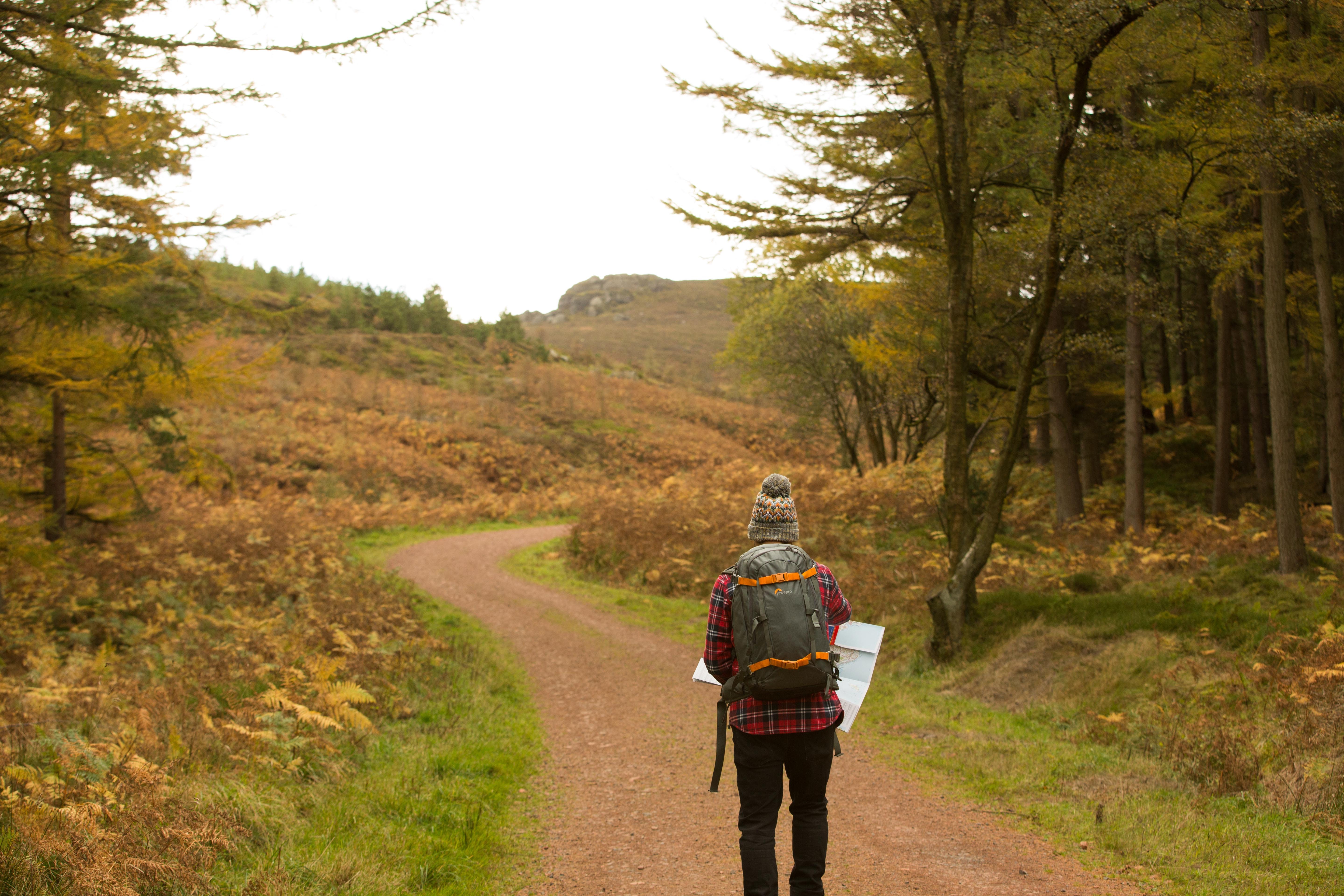 Photo by Jonathan Fox on Unsplash
In this post on What is GIS, this is what we could define the present GIS (Geospatial Information Systems):
It involves tools, software, algorithms, frameworks for gathering, managing, and analyzing data into visualizations using maps and 3D scenes. With this unique capability, GIS reveals deeper insights into data, such as patterns, relationships, and situations—helping users make smarter decisions.
So what are these software tools and algorithms? They include:
1. Spatial Data Science tools
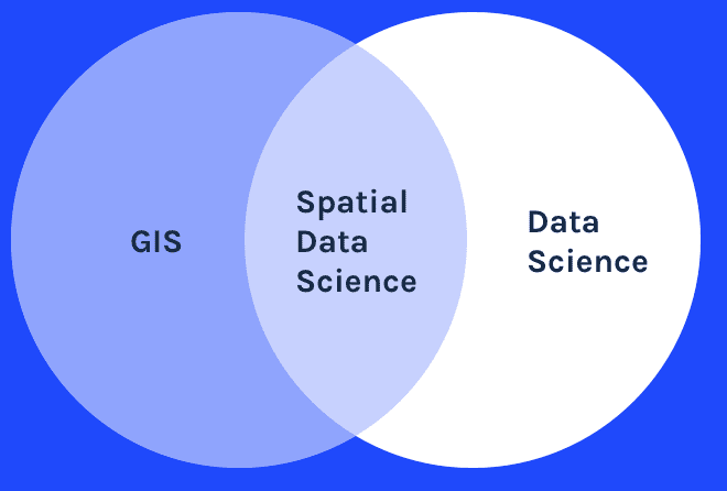
Spatial data science (SDS) is a subset of Data Science that focuses on the unique characteristics of spatial data, moving beyond simply looking at where things happen to understand why they happen there.
For this, one needs to have some skills in: Python and R programming languages, Database management, Version control, Cloud and Artificial intelligence.
For more details on Spatial Data Science, you can visit this article
2. Web mapping
Web maps are online maps that provide a way to work and interact with geographic content organized as layers.
In addition to the GIS skills, for webmapping, one also needs to have skills in web development like learn a backend framework like django and also learn something for front-end like HTML, CSS and Javascript. Also, learning a front-end framework like angular will be an added advantage.
3. Software Design
This is quite important because it will lead you to develop more robust, maintainable & flexible software that will satisfy your user's requirements.
For more details on importance of spatial design you can visit this post
4. Communication skills
Good communication skills are essential to allow others and yourself to understand information more accurately and quickly.
Where I am right now
All these above is quite a lot and in a way for one to master it all it seems more like just wishful thinking. But the good thing is that it is all inter-connected. And when you master the basics, the rest will be building up on these.
So I started with spatial data science, I have learnt data analysis with R and now am looking at python more deeply. Then having knowledge on git, sql and the cloud are like a necessity when one is in tech so I have learnt them. Currently am learning Django and then I will look at Angular.
With the basics of R, python, CSS and HTML I have created some webmaps and some spatial data science pipelines, however, am yet to put everything I have done to a portfolio.
But on communication, I started this blog to be documenting what am learning so far. Who knows it might be of help to someone else. But so far I have learnt a lot in writing the steps am making and it is good that for some things I have somewhere I can go back and refer to.
What has helped me
Well first as I said, my studies at school played a great role and currently now what is supporting me is the She Code Community which through it I have been able to access various contents that have helped me a lot to gain the skills I have so far. I also participated in the Google Africa Developer Scholarship program. And I cannot fail to mention the friends and colleagues who continue to accompany me in this journey.
So for one starting out, I would stress to join a community then just start somewhere and progress at your pace and give your best.
Just to mention some few sites that can help in learning:
- Esri MOOCs - These are free online classes by ESRI on GIS that offer a convenient, effective, and fun way to keep up with the fast-paced developments in geospatial technology.
- Freecodecamp. This is a platform where you can learn about coding for free and you can get a certificate and a very supportive community.
- Codecademy. This is an interactive learning platform that offers coding classes.
- Udemy. This is an online course provider. It has a wide variety of courses which are indepth and quite easy to follow. Sometimes they have discounts on the courses. So you can watch out for these.
- Coursevania. Coursevania makes it easy for you get free courses with certificate in the various learning plartforms like Udemy.
- Coursera. Coursera is an education platform that partners with top universities and organizations worldwide, to offer courses online for anyone to take.
- Codepen. This is an online community for testing and showcasing user-created HTML, CSS and JavaScript code snippets. It functions as an online code editor and open-source learning environment, where developers can create code snippets, called "pens," and test them.
References
The cover photo is from Alex Knight on Unsplash
Most of the definition of terms are from Wikipedia


